
The Future of Parcel Intelligence
PlotLedger is an open-source platform designed to bring structure, clarity, and intelligence to large-scale land and property data. It focuses on identifying and analyzing parcels of land of nine acres or more across the United States, connecting fragmented public records into a unified system. By combining parcel geometry, ownership data, zoning classifications, permit activity, and historical sales, PlotLedger creates a consolidated view of land that is typically scattered across multiple county and municipal systems.
At its core, PlotLedger is built to make complex land systems readable and comparable. It merges contiguous parcels when they share ownership, allowing users to understand the true scale of land holdings rather than fragmented tax parcels. Each property is enriched with zoning information, enabling direct comparison between what is legally allowed under local regulations and what has actually been approved through permits and variances. This makes it possible to identify where special permissions, density bonuses, or zoning deviations may have been granted over time.
The platform also tracks permits and development activity at the parcel level, linking applications, approvals, and historical changes directly to land records. This creates a living timeline of how properties evolve, from ownership transfers to construction and rezoning events. Over time, these records help reveal patterns in how different jurisdictions apply zoning rules and where exceptions are more frequently granted.
PlotLedger is designed as an extensible, modular system that can scale across states and eventually beyond the United States. Its architecture supports continuous data ingestion, AI-assisted analysis of zoning codes and permit text, and interactive visualization through mapping interfaces. Together, these features position PlotLedger as a unified intelligence layer for understanding land, development potential, and regulatory structure at scale.
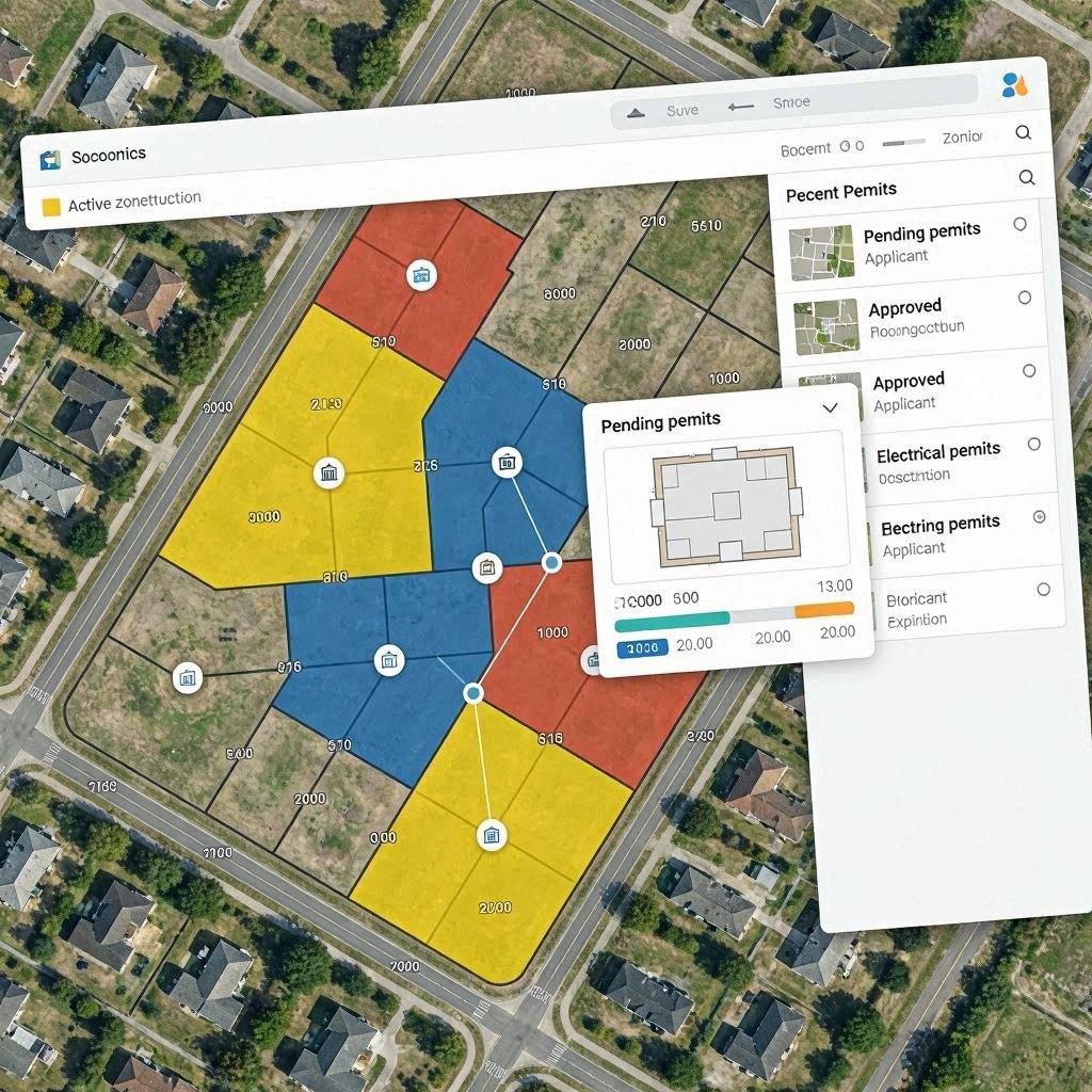
- PlotLedger — The Future of Parcel Intelligence, an open-source AI platform that unifies large land parcel data, zoning laws, permits, and ownership records into a single national intelligence system.