
Accountability in Every District.
CivicLayer exists to bring structure, transparency, and auditability to how population data is used in district mapping and representation analysis. At its core, the project is designed to make the process of drawing and evaluating districts more understandable and reproducible, so that decisions affecting representation are not hidden behind opaque systems or inaccessible models. Instead of relying on a single “final” map, CivicLayer focuses on generating and comparing multiple valid outcomes to reveal how different rules and assumptions change representation.
One of its central purposes is to separate what is observed from how it is interpreted. The system uses official population data as a baseline, then introduces a verified residency layer to provide an additional analytical perspective on long-term population distribution. This allows CivicLayer to highlight where official counts and verified residency data diverge, helping identify areas of potential over- or under-representation without altering legal definitions of population.
CivicLayer’s features are built around this transparency-first philosophy. Its district generation engine produces multiple valid mapping solutions based on constraints like population equality, geographic continuity, and compactness. Alongside this, the Population Discrepancy Index (PDI) measures differences between total and verified populations, flagging areas where significant variation exists and classifying potential causes such as student populations, seasonal shifts, or data gaps.
The platform also includes a visualization dashboard that lets users explore district maps interactively, compare different generated outcomes, and view layered population heatmaps. An audit system ensures that all map generations and data transformations are reproducible and traceable, reinforcing accountability at every step. Together, these components make CivicLayer a tool for understanding how representation systems behave under different assumptions, rather than simply producing a single static answer.
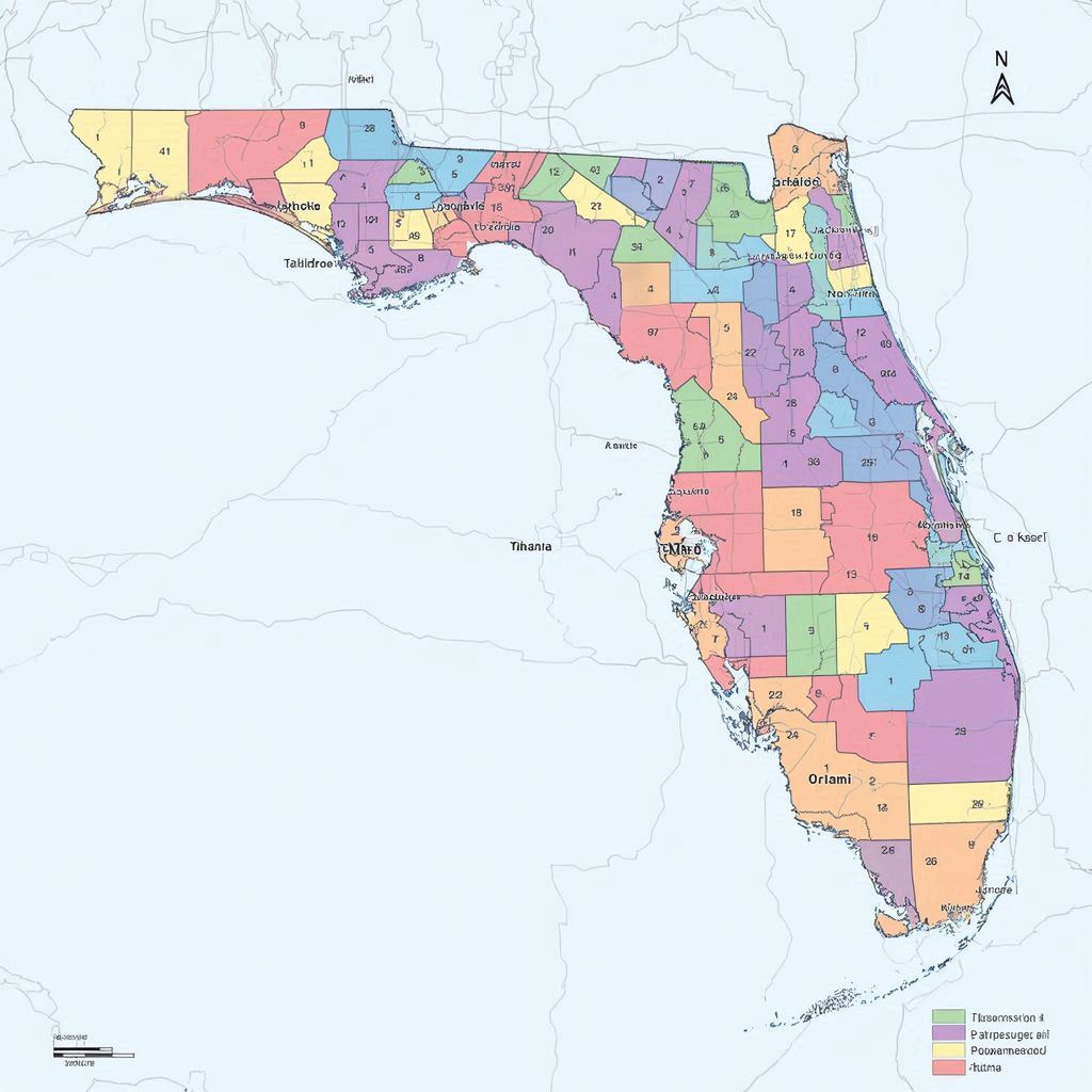
- CivicLayer — An open-source civic transparency system for generating, analyzing, and auditing district maps using population data, verified residency metrics, and fairness-based evaluation tools.