
City regulations, instantly understood.
UrbanLayer is an open-source municipal infrastructure platform designed to modernize how cities manage zoning, permitting, and regulatory compliance. Built around a municipality-centric architecture, UrbanLayer transforms complex city regulations into structured, machine-readable systems that are easier for governments, planners, developers, and residents to understand and use. Instead of relying on fragmented PDFs, paper applications, and disconnected GIS systems, UrbanLayer creates a unified digital layer where municipal rules can be analyzed, automated, and deployed through a modern web-based platform.
At the core of UrbanLayer is the Universal Zoning Rule Language (UZRL), a standardized framework that converts zoning ordinances and planning regulations into structured logic. This allows municipalities to automate compliance checks for building permits, accessory structures, environmental restrictions, and land-use regulations. Applicants can upload plans, test projects against local zoning rules, and receive instant feedback before submitting formal permits. The system is designed to dramatically reduce processing times while improving transparency and consistency across municipal workflows.
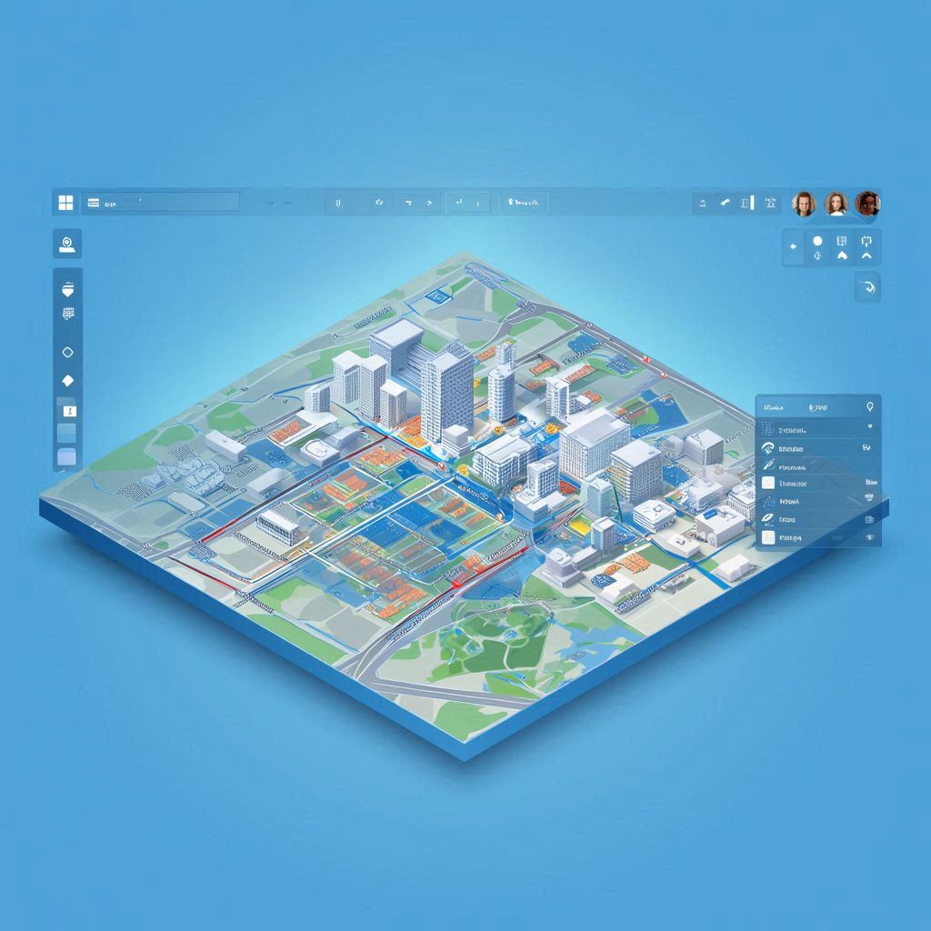
UrbanLayer also integrates powerful GIS and spatial analysis capabilities. Municipalities can connect parcel boundaries, zoning districts, flood zones, wetlands, infrastructure networks, historic preservation overlays, and elevation data into a single compliance engine. By combining these layers, UrbanLayer can evaluate whether a project complies with local regulations in real time. Residents can even use a property simulation tool to draw structures directly on their parcel and instantly identify setbacks, zoning conflicts, or environmental restrictions before construction begins.
Another major feature of UrbanLayer is its plug-and-play deployment system. Municipalities can launch a fully functional permitting and zoning platform in under a day using the built-in deployment wizard. The system includes AI-assisted zoning code parsing, permit workflow templates, municipal data validation tools, and configurable approval pipelines. UrbanLayer is designed to scale from small rural towns to large urban governments while remaining fully open source under the AGPL-3.0+ license, encouraging collaboration, transparency, and long-term public ownership of municipal infrastructure technology.
- UrbanLayer — An open-source municipal infrastructure platform for zoning, permitting, GIS analysis, and AI-powered regulatory automation.